|
| Grand Teton National Park - the granite and gneiss composing the core of the Teton Range are some of the oldest rocks in North America, but the mountains are among the youngest in the world. |
 |
| If you want to know more about the creation of the park, read this. |
 |
| Our main objective while in the park was to get out and explore. We decided to hike around the south end of Jenny Lake to get to Hidden Falls and Inspiration Point. At least it was a sunny morning so we could catch this reflection of the mountains in the lake. |
 |
| There is a shuttle boat that takes people across to the trail to Hidden Falls and Inspiration Point but we decided to walk there. |
 |
| We weren't going to hike as far as Baxter's Pinnacle but it was interesting to read about the peregrine falcons nesting there. |
 |
| The trail had a few little ups and downs but on the whole was fairly level. Most of it looked like this but some was rockier, some was smoother and some was a lot muddier. |
 |
| We saw lots of different wildlife in the park but most of it wouldn't hold still for a photo. This grouse was wandering near the trail. |
 |
| There was a trail to Moose Pond but we didn't walk down to it. Didn't see any moose there either... and we were watching for them and bear. |
 |
| We saw lots of marmots but the varmits weren't real good about posing for a photo. |
 |
| We saw a few running marmots that looked to be all black. This black marmot had a white face. |
 |
| Butterflies fluttered around us and Nolan got this photo. There were also beautiful periwinkle colored butterflies about the size of a quarter with their wings spread. They would close up their wing when they landed so we never could get a good photo. |
 |
| We finally got to the stream that ran from the base of the falls but we really couldn't see the falls very well. Disappointed we continued the climb up to Inspiration Point. |
 |
| Looking back once we got to Inspiration Point. |
 |
| The next three photos are the view from Inspiration Point. |


 |
| Once we got back to the bridge crossing the stream, we found the trail to see Hidden Falls. Too bad the photo can't convey the power and beauty of them. The trail to the falls was snow-covered, wet and muddy. |
 |
| We decided to take the shuttle boat back across the lake so we followed the stream down to the boat dock. Lots of people had just ridden the boat over so the trail was full of people. Some with very impractical clothing and footwear. Most didn't even carry water with them. |
 |
| The shuttle boat was partially covered and partially open air. We set in the open-air section but looked forward to the covered area. |
 |
| Looking back to Inspiration Point as we set in the boat. No, it wasn't the tallest peak. We couldn't handle that. The domed hill in front of the high peaks is where Inspiration Point is located. |
 |
| A photo of one of the shuttle boats docked. |
 |
| OK, sometimes you can't do anything about the position of the sun.... actually you can never do anything about the position of the sun except wait for it to move. |
 |
| Teton Glacier. Had to zoom in for the photo. |
 |
| How far away we really were. |
 |
| Next we drove to the top of Signal Mountain to see what we could see. Storm clouds were moving in. Below is the Snake River. |
 |
| Looking southwest back toward Jackson. They were getting some rain. |
 |
| Just a few more photos of storm-topped mountains. |

 |
| Coming down Signal Mountain we had this view of a portion of Jackson Lake. |
 |
| Snake River Lookout. There was a reproduction of an old photo taken by Ansel Adams from this point. There was also a photo of him taking pictures from the top of his car in Yosemite Valley. |
 |
| Just to the SW border of the park in the Bridger-Teton National Forest is this interesting area. Read the next few photos (might have to click to enlarge them) then see the photo of the slide area. |


 |
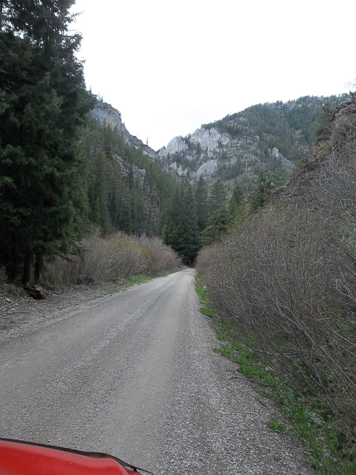
| We had traveled a paved but very potholed forest service road to get to the slide area but got this view of the road, Gros Ventre River and the Teton Mountains on the way back. |
 |
| We also saw some bison in this area. We had seen herds earlier in the day but they were all far from the roads. |
 |
| This guy was taking a nap. |
 |
| We also saw this pronghorn. Saw a fox, a coyote, and elk, but was unable to get a photo of each one. |
 |
| But the highlight of the day for Nolan was seeing this moose along the Gros Ventre River as we were leaving Grand Teton. |