My first look at Lake Tahoe. Ok so it's not a great, or even good, photo. Lake Tahoe is 12 miles wide and 22 miles long. It is also 1,645 feet deep and the water level is 6,225 feet above sea level. The water is 99.9% pure and comes from 63 alpine streams that run over granite and are filtered through wetlands before reaching the lake. One drop of water can take 700 years to leave the lake.

We drove round the south side of the lake, through South Lake Tahoe, to the Taylor Creek Visitor Center that is run by the National Forest Service. We checked out the visitor center then walked the Lake of the Sky Trail. It's an easy trail out to the edge of the lake.

The Taylor Creek Marsh is the winter home of bald eagles.

I don't know what kind of tree these cones come off but they are big. Definitely not big enough to be Sugar Pine trees. I think they are off of Ponderosa pines.

Those cones were a little sappy so I tried washing my hands in Lake Tahoe. Still sticky although maybe not quick as much.

Ok, did you really think I would post photos without a bunch of useless information? Think again. Double click photos to enlarge for reading.


Great Slave Lake in the Northwest Territories, Canada is the deepest at 2,015' and Crater Lake is the second deepest.


Now on with the scenery photos. This is the view from the Emerald Bay Viewpoint. The island is called Fannette Island and it is the only island in the lake.

The mouth of Emerald Bay where it enters Lake Tahoe is very narrow.

This is very hard to read but is a humorous story about the winter caretaker of a summer villa.

This is another view of Emerald Bay at the Vikingsholm parking area. One of my sisters was married here a few years ago.

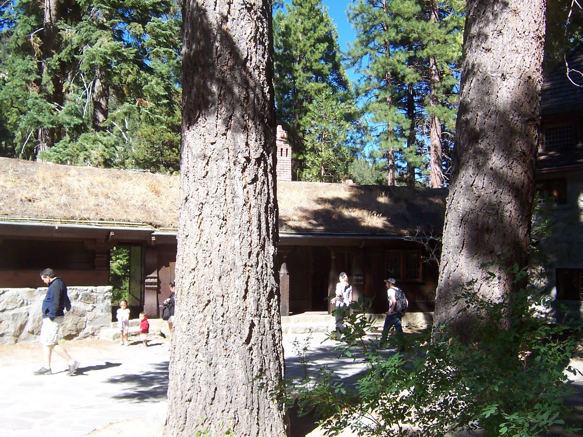
One of the main things we wanted to accomplish during our visit to Lake Tahoe was to see Vikingsholm. This is a 38-room reproduction of a Norse fortress. This castlelike building was built as a summer home in 1929. The website
http://www.vikingsholm.org/ has a lot of neat info on the house and its construction.

Mrs Knight's land included Fannette Island and she had a tea room built on the top of the island.

To visit Vikingsholm, you must walk down a steep 1 mile trail. Of course you must walk back up it too.

Vikingsholm as seen from the lakeside.

Slightly different angle shows the tower on the corner. The bottom floor of the tower houses the library and the upper floor is a bedroom. If I remember right, there are six bedrooms in the home and each has its own bathroom.

The North end of the outside of the house.

The view of Emerald Bay and Fannette Island from the back of the house..

Flash was not allowed while taking photos and it was dark inside the house so we don't have many photos. This is the living room with the door leading into the library.

This is the staff kitchen that was housed in one of the buildings surrounding the courtyard.

When a guest arrived by car they drove through this entry into the courtyard.

They would be greeted at this beautiful doorway. Notice the carved details around the door and the light fixture above the door.

So if you stood at the front door and looked away from the house, you would see the entry way you just came through.

As you looked right, you would see how the courtyard is formed by the buildings surrounding it. The buildings on the next side were housing for the servants.

This building and the one opposite the courtyard from it have sod roofs. They are irrigated and Mrs. Knight would have the roofs planted with wild flowers.

There was a break between buildings. The next building housed the staff dining room and the kitchen in the previous photo.
The second and third floor of the north end of the main house contained Mrs. Knight's bedroom and sitting room.

The house was built around the old growth trees, some of which are hundreds of years old. Here the view of the front door that visitors arrived at is partially blocked by a tree.

Continuing around the courtyard you can see the tower of the main house and the courtyard side of the garage. Inside the garage is a 1937 Dodge that was used by Mrs. Knight's personal secretary.

To the left of the garage is a maintenance building with a sod roof.

The maintenance building attaches to some of the servant's quarters that frame the vehicle entry way.


After Mrs. Knight's death, the property went through two owners before the second one sold some of the property to the state for half its worth and donated the rest. His name was Harvey West and this plaque commemorates his donation.

As we climbed back up the hillside, we got a glimpse of one of the many commercial boats giving tours of the lake.

 The last time we took Hwy 50 up to Spooner Summit I noticed this odd looking tree. Then I realized it was a cell phone antenna.
 The start of all three of our Tahoe Rim Trail hikes.
  This time we walked up the Tahoe Rim Trail and we were way above Spooner Lake. We did get a few glimpses of Lake Tahoe too. The trail started out really wide but it narrowed down. It was also real dusty like the other times we have hiked.
 At the first viewpoint we stopped for a rest. I found a chair, or should I say throne. Most of the hilltops had jumbles of stones like these.
 Nolan enjoying the view.
  The view.
 The second viewpoint showed us Hwy 50 and the Carson Valley.
  I think this plant is commonly called pussy paws.
 Found this sitting on a log about 45 minutes up the trail. We hauled it back down and threw it in the trash. The plastic bag was bad enough to have in the forest but who know if the substance within was dangerous to animals - besides humans.