We parked the rig in Libby, Montana and headed off to see Banff and Jasper National Parks in Alberta, Canada.
 |
| Our first stop was Libby Dam. This dam in 422 feet tall and 3,055 feet long. The lake it impounds is called Lake Koocanusa, a combination of the Kootenai River, Canada and USA, so named since the lake spans the border. The lake is 90 miles long and 370' deep at the deepest point. The Kootenai River is the third largest tributary to the Columbia River. The construction of this hydroelectic dam was completed in 1972 with the first power on line in 1975. |
 |
| Our first stop after crossing into Canada was Columbia Lake by Canal Flats, BC. Once again, I wished the photos showed the real color and beauty of the area. We passed through a lot of flooded land because of a couple weeks of rainfall on top of the spring run off. I fact, we could have made this trip the week before because of flooded roads. |
 |
| I'm embarrassed to admit that it took me a few minutes to figure out how to turn the heat on. Yes, everything is in Celsius. This Radium Hot Springs, BC hotel room also had a huge tub and separate shower. |
 |
| The next day we headed into Kootenay National Park. The road passed through narrow Sinclair Canyon before heading past the springs that Radium Hot Springs is named after. |
 |
| We stopped at the Kootenay Valley Viewpoint. Shortly after this viewpoint we had to slow down for a bear crossing the road. Just a small black bear. |
 |
| Just a pretty view. |
 |
| We stopped at Numa Creek to see the falls. A couple weeks of rain had swelled the river so the falls were more dramatic than usual. |
 |
| Down stream from the falls. |
 |
| See how the churning water had created holes in the rock? Spin cycle! |
 |
| Enjoying the scenery. |
 |
| Pilot Mountain is 9,690' tall. |
 |
| Our next stop was closed due to flooding but we stopped by Moose Meadow, so named because it used to be occupied by moose in the 1800's. There were mountains on each side and this picture tells about each. The following are photos of the mountains on each side. |
 |
| The next stop was Lake Louise. I had to do this sign in two photos since it was so large. Click on the photo to read about the lake. |
 |
| The water was a beautiful turquoise color that doesn't show in this photo. You can see a lot of canoes in the water. The lake is surrounded on three sides by mountains. |
 |
| The view to the right. |
 |
| The view to the left. |
 |
| Just a little closer view. |
 |
| Just some views of the tilted mountains along the Icefields Parkway. |
 |
| The next stop as the Icefield Centre in Jasper National Park. Read the photo then look at the next photo. |
 |
| That's a long way to the glacier. |
 |
| Zoomed in view of the glacier. That spec on the mid-left of the glacier is a huge tour bus that goes out onto the glacier for a tour. |
 |
| This is the type of bus that goes out on the ice. |
 |
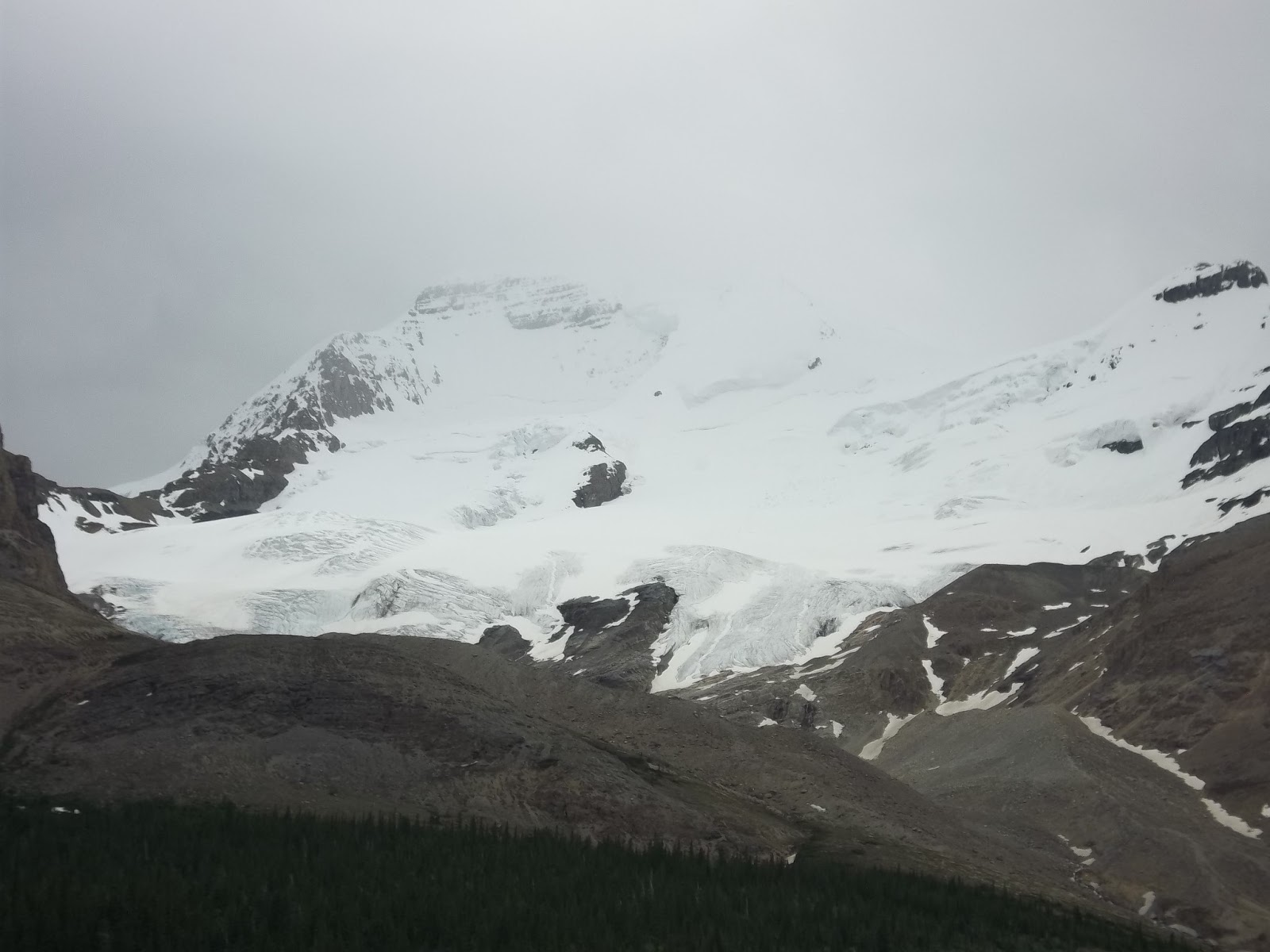
| The mountains on either side of the Athabasca Glacier also held glaciers. |
 |
| Sunwapta Falls was the next sight. To gauge the size, look for the people on the point to the left. We are standing on a bridge over the falls. |
 |
| There is also a viewpoint on the cliff on the opposite shore from the bridge. You can see the bridge in this photo. |
 |
| We walked through the woods down to the lower falls. |
 |
| The last stop for the day was Athabasca Falls. |
 |
| View just to the left of the falls. |
 |
The falls. Enlarge to see the rainbow.
|


No comments:
Post a Comment