|
| This day's adventure was to drive the Coastal Drive and walk some of the Flint Ridge Trail. |
 |
| Our first stop on the drive was to see the south end of the former bridge spanning the Klamath River. Read below to see how it was destroyed in 1964. |


 |
| The Klamath River |
 |
| The salmon are running so they are being caught as they swim upstream. |
 |
| So as we continued up the road, we pulled over for this pickup to pass us. Suddenly he swung the pickup around to go back the way he came. |
 |
| Then we started seeing lots of vehicles along the road and finally figured out the owners were probably out fishing salmon at the mouth of the river. |
 |
| The parked cars just kept going.... |
 |
| and going for a few miles. |
 |
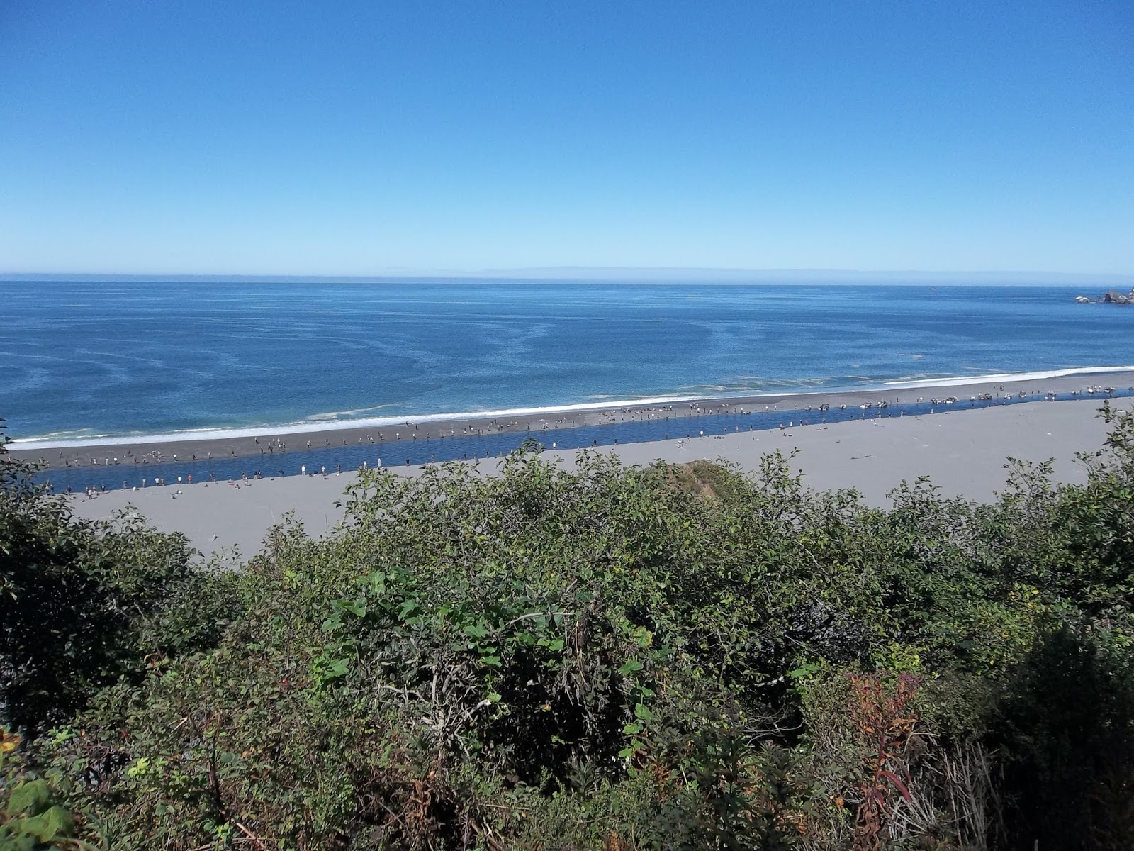
| We came to an overlook where we could see the sand bar lined with fishermen and women. |
 |
| The river made a sand bar at the mouth. It then runs left between the banks for quite a while.. |
 |
| before finding it's way out to the ocean. Seals gathered at the mouth to get salmon and birds hovered overhead for the scraps. |
 |
| Back up the river a distance all the fishing was being done from boats. |
 |
| They do this in Alaska too. |
 |
| Nolan heard one guy say they could only fish while the sand bar was exposed. The tide would rise and the sand bar would be covered by water. |
 |
| Another viewpoint further up the road. |

 |
| The road turned in to a single-lane gravel road. |

 |
| Sign at the High Bluff overlook |
 |
| View from High Bluff overlook |
 |
| There was another trail leading off from the High Bluff Overlook parking area so we took it. Another fabulous view. |
 |
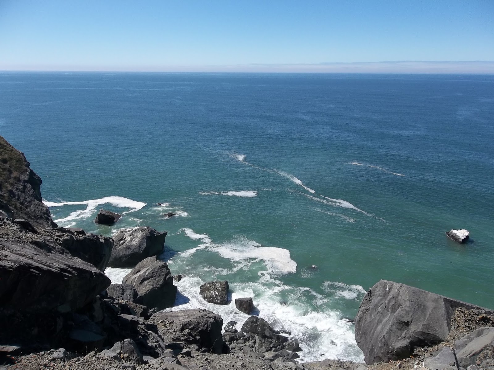
| Wished we were a little closer to where the waves were crashing into the rocks but Nolan got this great photo. |
 |
| Ok, I can look at this view for hours. There were seal swimming too. |
 |
| Rock on the top of the bluff. Looks like it is just precisely balanced in place. |
 |
| Loved these large grass plumes |
 |
| The rocks rose higher in some places. |


 |
| Now for the walking part of our day. |
 |
| I know we didn't even make it half way. We were both feeling sluggish so we only walked for 37 minutes going up but came down in 32 minutes. |


 |
| The first part of the trail was just around this pond. |
 |
| Oh, it's so hard to see in this photo but there is a branch going between these two trees. They are growing around it. |
 |
| We crossed over two bridges. |

 |
| This dead tree was huge! |
 |
| It was a good home to ferns. |
 |
| The next large dead tree was split up the trunk. |
 |
| A view up the trunk. |
 |
| I just thought the sun through the branches was beautiful. |
 |
| I don't know if this fern was deformed or just one I had never seen before. It looked like it was coming out where the rest of the sword fern came out of the ground. |
 |
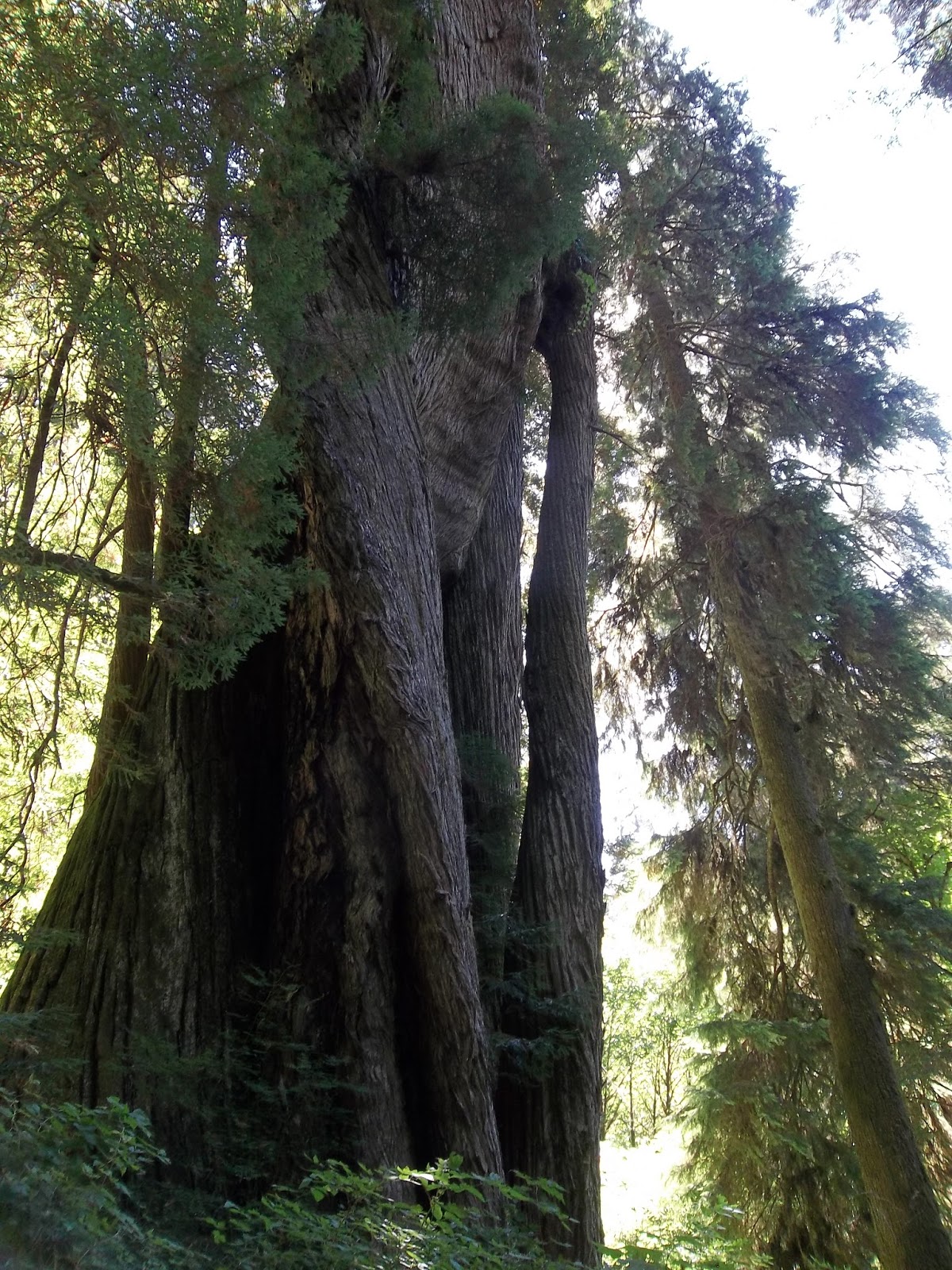
| This 10' tall dead tree stump had four large trees growing out of it. It was huge! |