Ok, now we're off to drive up Pikes Peak. Oh no! I was hoping construction season was over.

We stopped at the toll booth. I had found a coupon for $2 off so we got a little discount.

They don't mess around here. I don't think anyone will go through those barricades.

We caught up with the dump truck pretty fast but at least the scenery was nice.

My very own bigfoot.

The road really started climbing.


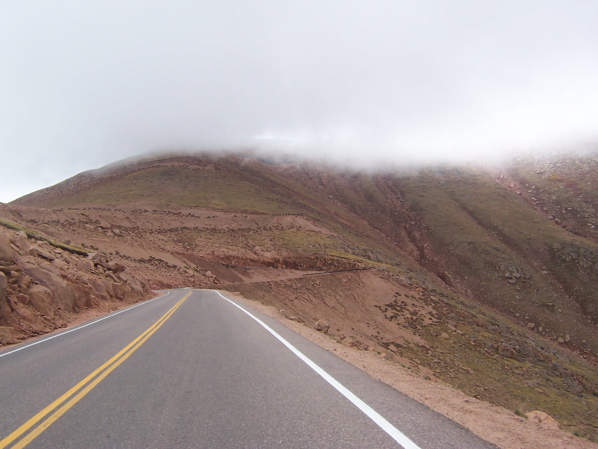
Oh no! The clouds are moving in.

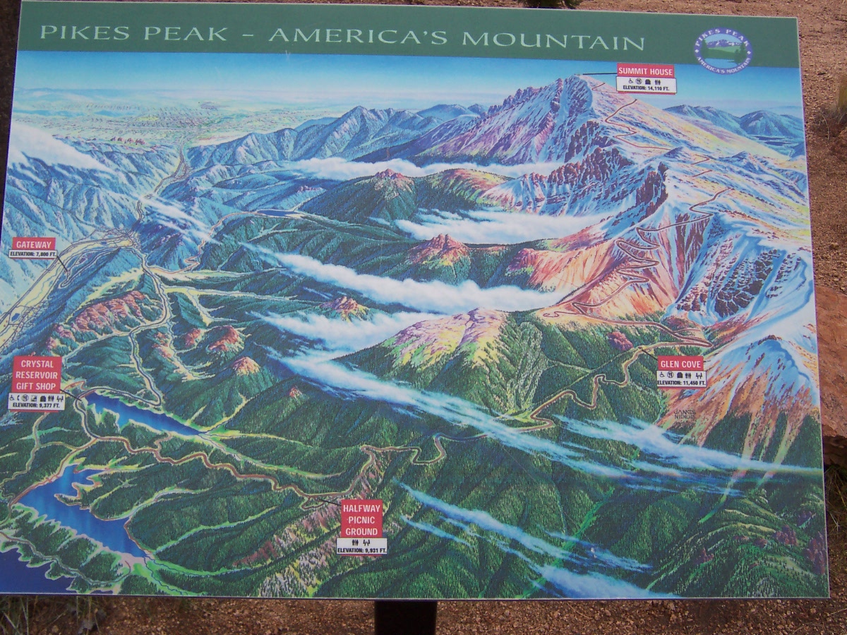
We stopped at the Halfway Picnic Grounds at 9,930' in elevation.

Ya just gotta double-click to enlarge this one so you can read it.


double-click this one so you can see the route of the road.

Hey, new pavement! I forgot to mention that we were meeting trucks on their way down the hills too. On hairpin curves like the one at the top of this hill they would blow their horns so you knew they were coming... and taking up half your lane.

A peek at the three reservoirs we passed on our way up.

Look at the clouds moving in.

Getting closer to the 14,115' summit.

Oh no! We ran out of pavement. Actually I thought we would be on gravel most of the way up the mountain.

Construction zone. The cars backed up behind us so far that one couldn't see the stop sign and must have figured people were stopping to look at something. They started passing but the construction truck driver hit his siren to get the vehicle to go back to the end of the line. LOL

They finally sent us on but there were still vehicles coming at us. I think there must have been some miscommunication. The spot where the preceeding vehicle is at was extremely slippery.

Rounding the curve to Glen Cove gift shop and parking area.

The pavement started again shortly after Glen Cove so we weren't off of it long. It continued up the mountain until just before the summit.

Just a scenery shot.

We didn't meet any more large dump trucks after Glen Cove. Here you can see the road going up the mountain.

A view of where we've been. See the road down below?

Heading into the switchbacks.

Neat rock formations on a hairpin curve.

Where we've been.

Really I am holding the camera level.

Yeap that fog is going to get us.

Signs at a pull-off.


The road is really steep here. Looks like we are headed off into space. I think the next turn is called Cog Cut. That's because we could see the cog railway tracks when we went around it.

Finally at the summit. This lovely plaque commemorated the writing of the poem America by Katherine Lee Bates. Better know to most people as the song, "
America the Beautiful". She wrote some of it while looking at the scenery around Pikes Peak.


The fog moved in just as we got to the top so we didn't get to see any scenery. Here's the cog train coming to the summit.

it looks like the engines were mounted on the top of the train.

 Garden of the Gods. These formations are actually old sedimentary beds that were deposited horizontally but were tilted vertically by the movement of tectonic plates.
 Our first stop was at the Visitor's Center.
 Map of the park.

 We walked between South Gateway Rock and the Sentinel Spires. Two guys were climbing the lighter-shaded Sentinel Spire and another guy was climbing Signature Rock behind them. You might see them if you double-click this photo.
 Zoomed in on the guy climbing Signature Rock and you can just make out the guy on the top of the lighter spire.
 The Three Graces.


 Lots of people had engraved their names into the base of White Rock.
 Balanced Rock. This park would have been more interesting if we hadn't been to see Bryce Canyon National Park.