
 |
| Day 6 the ship's guests had the choice of going on an optional tour to Weltenburg Abbey or walking into the town of Kelheim. My sister took the tour and I explored Kelheim in the morning. The ship was docked on the Altmuehl River, the start of the man-made Rhine-Main-Danube canal that crosses the European continental divide. |
 |
| So to get to the center of Kelheim, you have to pass through the gate. More on that later but notice that there is traffic going both ways. |
 |
| Just a little architectural feature I've been noticing. See how the shutter is held back? |
 |
| These catches have all sorts of designs. |
 |
| And most of the buildings have shutters. |
 |
| Now back to the gate. The city guide says it was built in the 13th century, which isn't what the sign says. There are actually three towers and in 1809 they were all reconstructed to look alike. There was a gate house but it was demolished in 1868. |
 |
| I'm glad there's a separate people entrance. |
 |
| On the inside of the tower is a painting by artist Georg Lickleder depicting the capture of the master butcher and freedom fighter, Matthias Kraus, in 1705. |
 |
| Seems Matthias rose against the oppressive Austrian occupation forces and drove them from the city. As "Commandant of the City" he demanded the City Council and citizens support him. Well he ended up being betrayed in 1706 so when Austrian forces took back the city, he was captured, beheaded and quartered. |
 |
| The guesthouse with the window boxes was pretty. |
 |
| Headed into town. Sometimes it was hard to tell where the "sidewalk" was located. |
 |
| The Neues Rathaus (New City Hall) on Ludwigsplatz in the center of town. Next to it is the Altes Rathaus |
 |
| The Altes Rathaus was built in 1598 and the baroque façade was added in the 17th century |
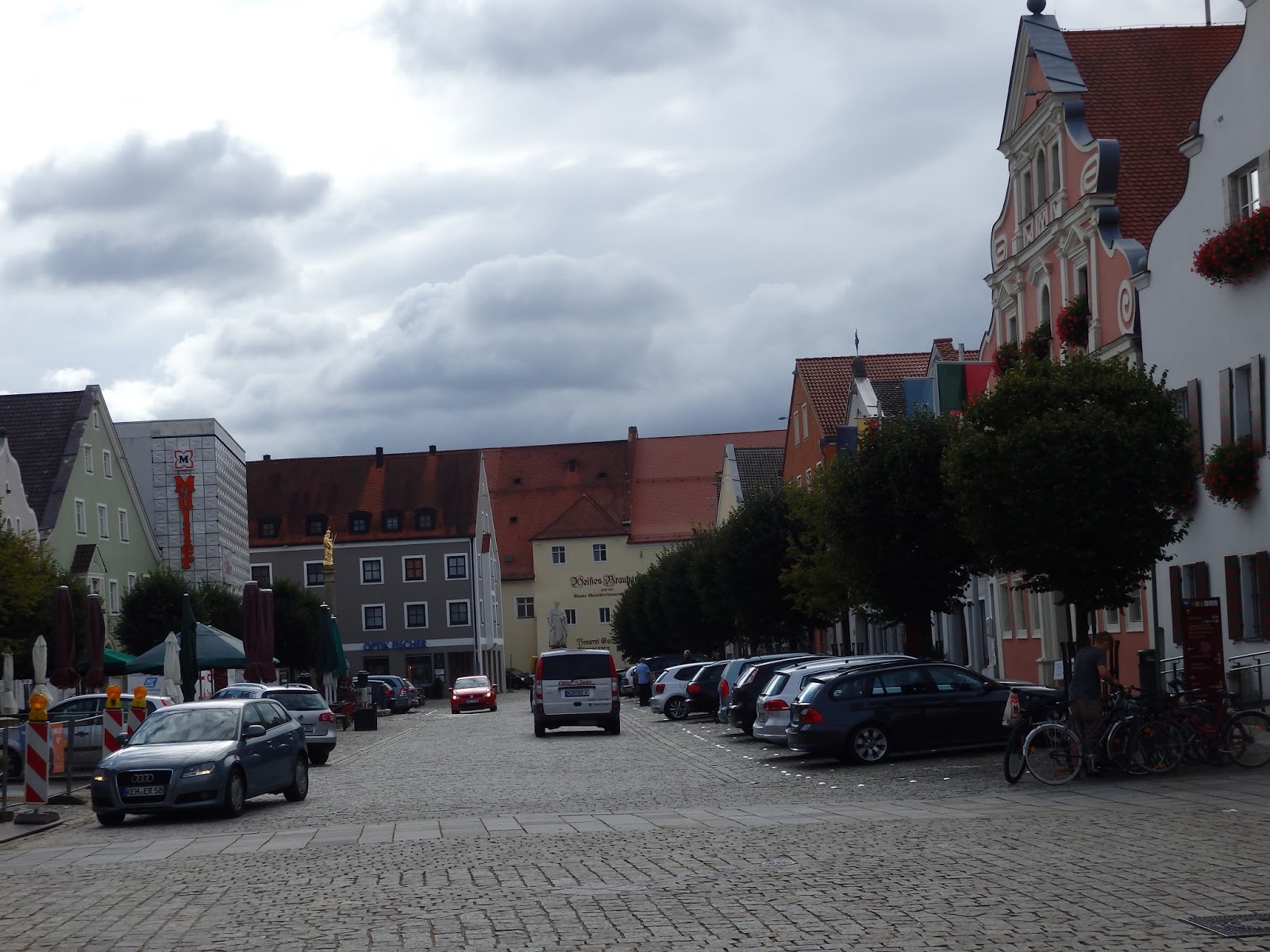 |
| Look at the silver line behind the parked cars. These are metal bumps that delineate each parking spot. |
 |
| I decided I wanted to tour Liberation Hall. First I had to get to the top of the hill. On the walk I came to this waterway. This is the Old Canal Harbor, part of the Ludwig Danube-Main canal. Charlemagne was the first to try to build a canal across the European Continental divide but he didn't get far. King Ludwig I of Austria's attempt was successful for a short time but the coming of the railroad led to its demise. The canal suffered heavy damage during WW II in 1945 and was officially shut down in 1950. |
 |
| Another photo of the canal's harbor with lock #1 at the end. It is a wooden lock. |
 |
| Canal leading into the harbor. This shows the size of Ludwig's canal so you can see it wasn't very big. |
 |
| Just an interesting building I passed on my walk. |
 |
| This parking lot leads to the path up to Liberation Hall (Befreiungshalle) |
 |
| The path went past this guesthouse on the hillside. |
 |
| Yes the path was climbing already. |
 |
| After a switchback, I turned and took another photo of the guesthouse. Notice how they had leveled out an area for a yard. Also notice the hillside in the distance. Our program director told us that many of the trees were planted there. |
 |
| Looking at Kelheim along the Danube. |
 |
| Yes, a nice walk in the woods. It was nice to get back to more natural surroundings. |
 |
| But the path was steep and winding. |
 |
| Higher above the Danube. |
 |
| Dang, the path looks like a racetrack here. |
 |
| I think this is the Kriegerdenkmal War Memorial. |
 |
| Finally getting closer to Liberation Hall. Commissioned by King Ludwig I, this memorial commemorates the battles against Napoleon in the Wars of Liberation in 1813 - 1815. From this angle, you can't see the entrance but it is at the end of the huge staircase that climbs from both sides. |
 |
| Must be wetter in this area than I thought because I saw a few slugs in the grass. |
 |
| The plan of this hall is built round the number 18. There are 18 states in Germany and October 18, 1813 was the date of the Battle of the Nations. So the memorial is an 18-sided polygon. The supporting buttresses of the façade are crowned by eighteen statues representing the German tribes. |
 |
| Fountain at the end of the trail. |
 |
| Layout of the memorial grounds. The Hall is the red circle but I had to walk to the ticket office far to the left. The trail started at the far right. |
 |
| Click to read for more information on the memorial. |
 |
| Trail up to the ticket office. I got there just after a busload had gone through. Whew! |
 |
| Click to enlarge. English text on right is enlarged below. |

 |
| All old buildings have to have extensive maintenance but why does it have to happen when I'm there? Whine, whine. |
 |
| A look up the Danube. |
 |
| Panoramic photo from the entrance. |
 |
| First sight of the interior. There are 34 Goddesses of Victory, symbolizing the 34 German states of the German Confederation (Deutscher Bund), which was founded in 1815. |
 |
| Panoramic shot of the Goddesses of Victory. |
 |
| Each statue was hand-carved from blocks of marble and is unique. |
 |
| There is a path behind the statues. From there I took this photo up to the dome which is 148' up from the ground. |
 |
| Detail of the lower part of the dome. |

 |
| Detail of the upper part of the dome. There are 18 panels of each design. |
 |
| Ceiling of the walkway behind the Goddesses. |
 |
| The 18 plaques between the lower and second levels memorialize battle from the Wars of Liberation. |


 |
| I purchased an audio guide. A great photo of the hall without all the construction scaffolding was shown so I got this photo. |
 |
| Another photo from the audioguide showed the steps leading up to the entrance. |
 |
| foundation area |
 |
| The statues on each side of the entrance couldn't be show reaching for the hand of the next one so they hold fronds instead. |
 |
| Does your little toe look like this? Mine doesn't so I must not be a goddess. |
 |
| In the area behind the statues, some of the alcoves needed a little TLC. |
 |
| Behind the statues is also where I found the stairs up to the second level. You can see where the marble steps of the first architect gave way to the steel steps of the second architect. |
 |
| Looking down from the second level. |
 |
| From the first level I didn't know that each pillar I saw had another one behind it. |

 |
| Inscription on the floor was written by King Ludwig I. It says, "May the Germans never forget what made necessary the Struggle for Freedom and by what means they won." |
 |
| Looking at the floor from the second level ring. |
 |
| After walking back down the hill, I followed city streets back to the ship. |


 |
| Saw lots of these snow blockers on the roofs in Germany. |
 |
| So this is a quince tree. |
 |
| The fruit sort of looks like pears. |
 |
| Loved the stone wall/bush fence. Also a lot of the buildings had exterior window covers like this because they are not air-conditioned. |
 |
| Notice the street sign on the house and the road sign indicating a dead end road. |
 |
| This corn field was growing alongside the road at the edge of town. The corn was way shorter than what I am used to seeing in Iowa |
 |
| Some ears looked ready to harvest while... |
 |
| Others were still green. Notice how small the ears are. |
 |
| Home sweet home on the river...er, at this point I guess it's home sweet home on the canal. |

No comments:
Post a Comment