 |
| Sorry the photos aren't in a better chronological order but there's lots of interesting information about the bridge still to come, so read on. |
 |
| OMG!! |
 |
| Click on next photo for a description of each of these items. |
 |
| This is a dial Gauge. It was used to measure the bridge movements during load testing in 1932. |
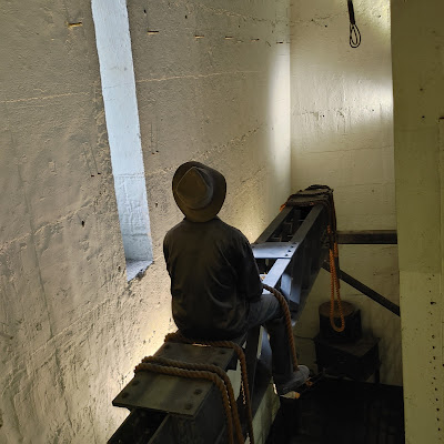 |
| Models depicting the hazardous working conditions during bridge construction. |
 |
| The biggest cost of all. I wonder how many wouldn't have died if they had been wearing modern safety equipment. |
 |
| We were on a balcony, and we took photos as we walked around. This is the view starting at the Opera House. |
 |
| Circular Quay, where the ferry, tour and cruise boats docked, downtown, The Rocks in the foreground and a sliver of the road that goes over the bridge. |
 |
| The Rocks... hmm I wonder if we can see the YHA where we were staying. |
 |
| My sister has a much better camera on her phone, and she was able to take this photo of the patio on top of the building. |
 |
| The road and the rest of the buildings of downtown. Darling Harbour is on the right. |
 |
| This photo shows more of Darling Harbour, the train tracks that run across the bridge, and the southwest pylon. |
 |
| The southwest pylon, train tracks and road with a slice of Sydney Harbour |
 |
| Looking out over the top of the bridge. |
 |
| Sydney Harbor to the East of the bridge. The Opera House is just out of view on the right. |
















No comments:
Post a Comment