
August 23rd we rented a Jeep and hit the back roads. We went south to Nathrop then west on CR 162. This photo was taken on CR 162.

The first stop was Agnes Vaille Falls. This is a short 1/2 mile hike on a trail that is partially in a creek bed.

The falls

Shortly after Cascade the road goes from paved to gravel.

Yeap, heavy traffic on a gravel road.

Shortly after the road turns to gravel, we turn off of it onto CR 292. Now this is a narrow, very rocky, 1 1/2 lane road.

Still on CR 292.

We stopped at the Iron City Cemetary to check out the old gravestones.

Just before St. Elmo, CO we got back on pavement. St. Elmo is supposedly the best preserved ghost town in CO.

The chipmunks here are used to being fed by tourists so they will climb all over you if you sit still.

From St. Elmo we get on CR 267 and head toward Tincup Pass.

Yeap, back on the rocky road. This is why we rented the Jeep.

The road is smoother in places.

Yea, a water crossing.

Here's where we stopped to eat our sandwiches.

A crazy motorcyclist was riding this road. You can just make out his headlight in this photo.

Just a high country scene.


The road is just a tad bit skinny here. We had just done a couple hairpin curves on the way to the summit.

On top of the Continental Divide.

The Jeep parked at the Divide.

View from the Divide.

On the way to the top of the pass I complained that the road wasn't challenging enough. Well it made up for it going down the other side.

Some places I just had to stop and figure out which was the better path.

Nolan was doing a good impression of a bobble-head doll through here.


Hey, a road sign. At least we knew we were on the right path.

Going down hill, we spent most of the time in 4-wheel low. Yes the Jeep is a manual. Haven't driven one in years but did just fine.


I just wished these photos showed how rough it really was!

We made it to Mirror Lake. The "road" goes around the right side of the lake.

But first we had to cross over this stream going into the lake.

Looking back the way we had come.

One we got to the far side of the lake, the road was gravel instead of rocky. A small ditch ran along the side and we even went into it once so a larger pickup could stay on the road.

Coming into the metropolis of Tincup.


A lot of these buildings were unoccupied.


Then we turned and headed "downtown".

I wished the windshield wasn't so dirty so you could see the store, the old gas pump and the line of ATV's.

This restaurant was on the other side of the road.

WOW!!! A super highway!!! Still gravel but real wide.

After we had gotten out of town a ways you couldn't see many houses but this must have been the post office.

Another spot of "heavy" traffic.

We even got in some cattle herding.

OMG! Pavement!!! What's this stuff? We were just entering Taylor Park. Nolan and I rode our bikes here from the south in 2006.

The road around the reservoir.

Then we get back on gravel to head up and over Cottonwood Pass. Now this is a heavily traveled road and it was doubly so because the next day there was a National bicycle championship ride over it.

Just some of the scenery. There were tents pitched all along the road, especially up by the summit. Actually we got lucky. We passed the summit around 2 p.m. and the pass was closed at 3 p.m. for the bike race.

 August 23rd we rented a Jeep and hit the back roads. We went south to Nathrop then west on CR 162. This photo was taken on CR 162.
 The first stop was Agnes Vaille Falls. This is a short 1/2 mile hike on a trail that is partially in a creek bed.
 The falls
 Shortly after Cascade the road goes from paved to gravel.
 Yeap, heavy traffic on a gravel road.
 Shortly after the road turns to gravel, we turn off of it onto CR 292. Now this is a narrow, very rocky, 1 1/2 lane road.
 Still on CR 292.
 We stopped at the Iron City Cemetary to check out the old gravestones.
  Just before St. Elmo, CO we got back on pavement. St. Elmo is supposedly the best preserved ghost town in CO.
 The chipmunks here are used to being fed by tourists so they will climb all over you if you sit still.
 From St. Elmo we get on CR 267 and head toward Tincup Pass.
 Yeap, back on the rocky road. This is why we rented the Jeep.
 The road is smoother in places.
 Yea, a water crossing.
 Here's where we stopped to eat our sandwiches.
 A crazy motorcyclist was riding this road. You can just make out his headlight in this photo.
 Just a high country scene.

 The road is just a tad bit skinny here. We had just done a couple hairpin curves on the way to the summit.
 On top of the Continental Divide.
 The Jeep parked at the Divide.
 View from the Divide.
 On the way to the top of the pass I complained that the road wasn't challenging enough. Well it made up for it going down the other side.
 Some places I just had to stop and figure out which was the better path.
 Nolan was doing a good impression of a bobble-head doll through here.
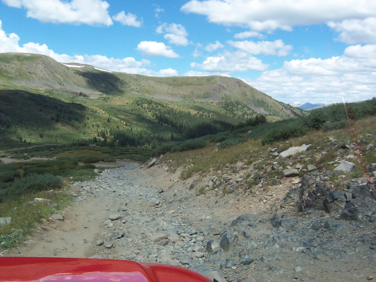


 Hey, a road sign. At least we knew we were on the right path.
 Going down hill, we spent most of the time in 4-wheel low. Yes the Jeep is a manual. Haven't driven one in years but did just fine.
 I just wished these photos showed how rough it really was!
 We made it to Mirror Lake. The "road" goes around the right side of the lake.
 But first we had to cross over this stream going into the lake.
 Looking back the way we had come.
 One we got to the far side of the lake, the road was gravel instead of rocky. A small ditch ran along the side and we even went into it once so a larger pickup could stay on the road.
 Coming into the metropolis of Tincup.
 A lot of these buildings were unoccupied.
 Then we turned and headed "downtown".
 I wished the windshield wasn't so dirty so you could see the store, the old gas pump and the line of ATV's.
 This restaurant was on the other side of the road.
 WOW!!! A super highway!!! Still gravel but real wide.
 After we had gotten out of town a ways you couldn't see many houses but this must have been the post office.
 Another spot of "heavy" traffic.
 We even got in some cattle herding.
 OMG! Pavement!!! What's this stuff? We were just entering Taylor Park. Nolan and I rode our bikes here from the south in 2006.
 The road around the reservoir.
 Then we get back on gravel to head up and over Cottonwood Pass. Now this is a heavily traveled road and it was doubly so because the next day there was a National bicycle championship ride over it.
 Just some of the scenery. There were tents pitched all along the road, especially up by the summit. Actually we got lucky. We passed the summit around 2 p.m. and the pass was closed at 3 p.m. for the bike race.