
 |
| Another cold, rainy start to this day of travel. We left Westport and headed to Picton. We drove along the Buller River Gorge. Our first stop was Hawks Crag where the highway goes down to one lane as it navigates between a slope and the river. That's it on the left. |
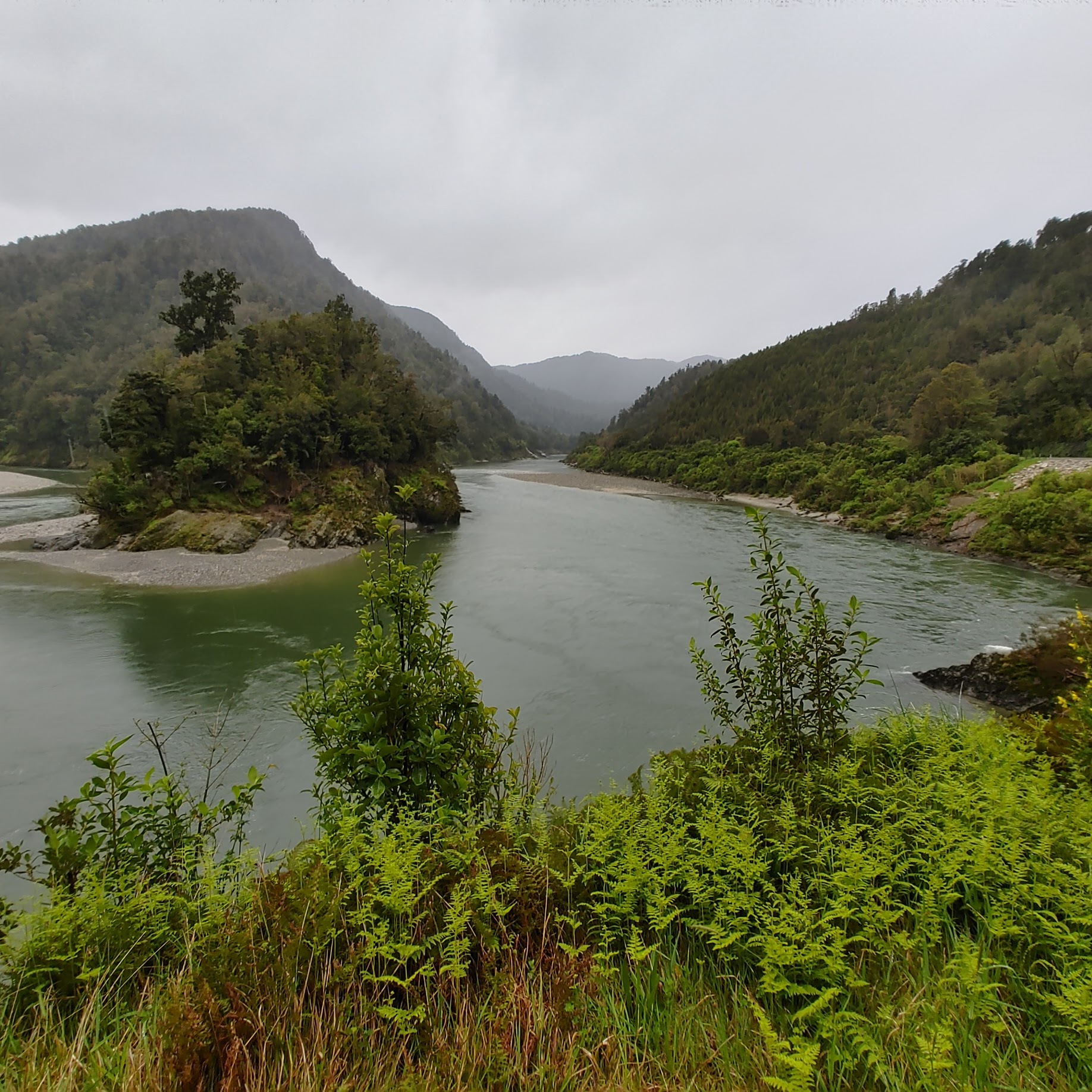 |
| This viewpoint is just as the river turns. |
 |
| This truck navigating the one-lane portion of the highway shows how the rock overhangs the road. |
 |
| We weren't at this stop long when along comes another truck. Something tells me a lot of trucks use this road. |
 |
| As we continued along the road, we saw this interesting piece of artwork and hurriedly pulled over for a photo. |

 |
| The artwork was by Berlins Cafe, Bar and campground but the business had a for sale sign on it. |
 |
| View across the road from Berlins |

 |
| Next stop, the Kawatiri Picnic Area and Historic Railway Walk |

 |
| There was a small pavilion covering some displays about the railway. |


 |
| We saw this sign and didn't know what it meant so I looked it up. It means: “Speed Limit Derestriction (no posted speed limit, maximum of 100 km/h applies but drive to conditions)”. I didn't know there was an international treaty to standardize road signs. Read all about it. I've seen a lot of different variations of road signs in the countries I have visited but most have been recognizable. I still remember the "Stud Fitting" sign in Ireland and I still don't know what it meant. |
 |
| We saw a few hop farms but later, just south of Nelson, vineyards were everywhere. |
 |
| We saw a lot of logging trucks, but they looked a bit different than what I was used to seeing. |

 |
| We stopped in Nelson for lunch before continuing to Pelorus Bridge Scenic Reserve. |


 |
| From the parking lot, we made our way back to the bridge and took these steps down to the water. |
 |
| The water was a beautiful color |

 |
| We climbed back up the steps and headed across the bridge. We had to see what was on the other side. |

 |
| Found this information panel on the other side. |
 |
| Click on the photo to get it to enlarge so you can read it. |


 |
| Ran into a problem when we got to our hotel in Picton. They didn't have a reservation for us. But some people had checked into the honeymoon suite only to find out they would have to take their ferry that night instead of the next morning. They didn't want their money back, so we got the room. We figured we could sleep on the same bed for one night. |
 |
| Later the desk clerk came to tell us that our travel agent had made a reservation, it was just in her name instead of mine. We had unpacked and settled in by then, so we decided to stay. Besides, my sister wanted to take advantage of having a jet tub to herself. |

No comments:
Post a Comment