
 |
| Fort Casey is on Whidbey Island in Puget Sound. This map depicts the current day configuration of the park. |
 |
| This old surveillance photo shows what the Fort looked like back in the day. |

 |
| The large open field behind the guns was full of picnicking and kite-flying park goers. |

 |
| The back side of each gun placement had the name of the Fort section it was in. |
 |
| We went down these stairs.. |
 |
| into this gun turret. |
 |
| A look out its windows shows the back side of the forward placements. |

 |
| Right over the hill to the south is where the Coupeville/Port Townsend ferry loads up on Whidbey Island. |
 |
| There was also an RV park over the hill. |

 |
| Wished I knew what this foliage was called. |

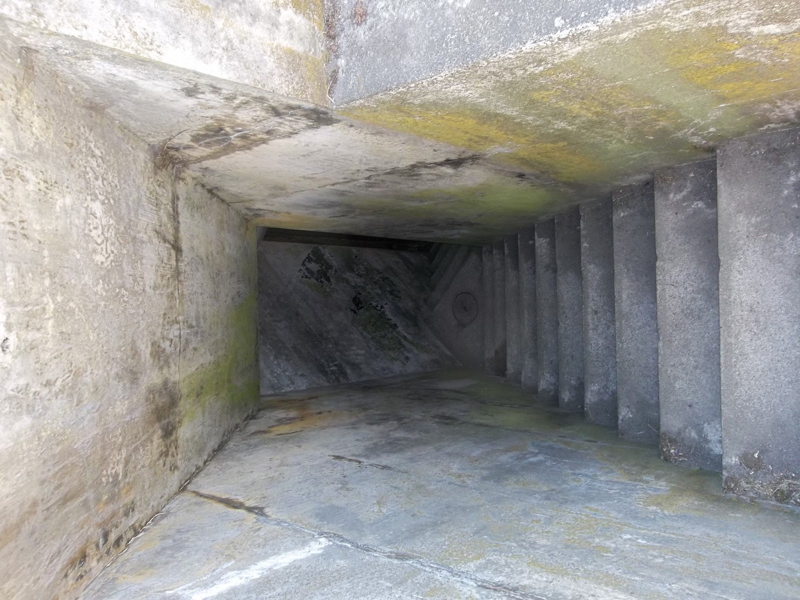 |
| The forward guns had these large areas under them. I assume it was where the ammunition was held. |
 |
| Oh the flash was on for this photo. Without the light it was really dark back there. |
 |
| These were built into the walls. We assumed it was the way the ammunition was moved from storage to the guns. |
 |
| There were two lookout towers behind the guns. |
 |
| A gun is missing from this site. |
 |
| But the next two had guns. We watched a video at the lighthouse that showed these guns being fired. They would be loaded in this position, raised and when the gun fired, it would automatically come back down to this position. |
 |
| Firing position. |
 |
| Looking down the barrel. |
 |
| Time to walk to the lighthouse. |
 |
| The lighthouse. |
 |
| Read this then look at the library in the next photo. |


No comments:
Post a Comment