2 On The Road Blog

After 12 years of full-time rving, we've sold our truck and trailer but we're still traveling. Email us at wowpegasus@hotmail.com if you would like to contact us.


Thursday, September 02, 2010

Riding the Oregon Dunes

We were so close to the Oregon Dunes that we just had to rent an ATV and get out on them. We rented this Rhino.
Our pilot for the day was Nolan. Doesn't he look like he knows what he's doing? We're both novices at this.
We started off real tame and mainly stuck to the low road. Sometimes the low road got very bumpy. They called the condition "the whoops". Kinda like deep ruts running perpendicular to the road about every 5'.
You can't really tell by this photo, but that dune is pretty tall.
This was a double hump top.
There were islands of trees among the dunes. Places where the ATVers got funneled into certain lanes. We were so worried about other ATVers hitting us that it was hard to enjoy the ride. I'm glad we went on a weekday when the dunes aren't crowded.
There are lots of shallow water holes among the dunes.
Some are even big enough to be called lakes. By the way, this photo was taken from the top of one of the big dunes.
You might have to enlarge this photo so be able to see that we are at the lip of a steep drop off. Yes we stopped at the top of the dunes so we could see what was on the other side.
There were some RVs out on the dunes. I'd be afraid of getting stuck.
This guy had to stop and let some of the air out of his tires so he could have better traction. We saw him later on the move but didn't know if he had to get some assistance or got moving again on his own. No, he's not really going up hill here. I got the camera crooked.

Monday, August 30, 2010

Water, water everywhere

On the way back to Loon Lake from Crater Lake we traveled Hwy 138, The Highway of Waterfalls. The white line is Hwy 138. If you enlarge the photo you can see each of the waterfalls we visited marked on the map.

The first waterfall was Clearwater Falls. It lived up to its name as the water was crystal clear. All the waterfalls we visited had clear water. This glade was covered in moss and the water actually ran under a lot of tree roots at the top so we could walk over the water.


Stephanie and I started up the wrong side of the creek and had to cross over a log to get back to the right side.

Nolan and I by Clearwater Falls.

Just another pretty photo of the falls.

Our next stop was Whitehorse Falls. As you can see,there was a nice pool at the bottom of this falls.

The next falls was Watson Falls. On the hike up to the falls I saw this mossy area and just had to pose for a photo.

It is the third highest waterfall in SW Oregon at 272'
The trailhead for the last falls, Toketee Falls was by this huge pipeline. Read more about it in the next photo. You could tell the pipe was full because water was spraying out of several holes, some of which were on the top.

We walked along the river. It got narrow at this point and the water was really churned up.
Toketee Falls was beautiful and much larger than it seems in this photo. If you enlarge the photo you can see the tree growing up the left side of the chasm.
The trail was a combination of wooden steps and rocky trail. This last part descended to a platform hanging over the hilllside and built around some trees.
Our last stop was at Glide, OR which is the only location in the world where two rivers meet head on. The Little River joins the North Umpqua as is it turns to the right. The North Umpqua splits right before it meets the Little River head on. The basalt around this location is hard and very resistant to water erosion.


Kids were jumping off the rocks and into the river in several places. In this place, right after the right fork of the Umpqua River meets the Little River, the current isn't very strong.
We walked down to the water then carefully walked through it to get to the basalt island.
Looking back after we crossed the water you can see the Hwy 138 bridge. The viewpoint for Colliding Rivers is to the left.
We walked to the other side of the island to see where the Umpqua River splits. The current is much stronger on this left fork but the kids were still jumping from the rocks on both sides.

Friday, August 27, 2010

Crater Lake Trip

One of our co-workers and us decided to take a trip to Crater Lake. The first day was mainly about getting there. We stopped at this neat wayside for a bite to eat along the way.
It was right beside the North Umpqua River so we just had to do a little boulder hopping.
Eventually we made it to Crater Lake.
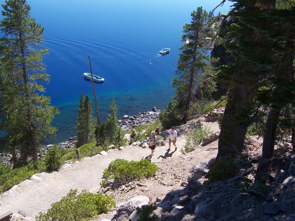
The main focus of the trip was walking down the Cleetwood Cove Trail and letting our co-worker take a dip in the lake. The trail was very steep and dusty.
Anyone wanting to go on the boat ride that the NPS offers has to go down and up this trail.
Crater Lake is beautiful and the photos really don't do it justice.
Eventually we could see the boat dock to which we were headed.
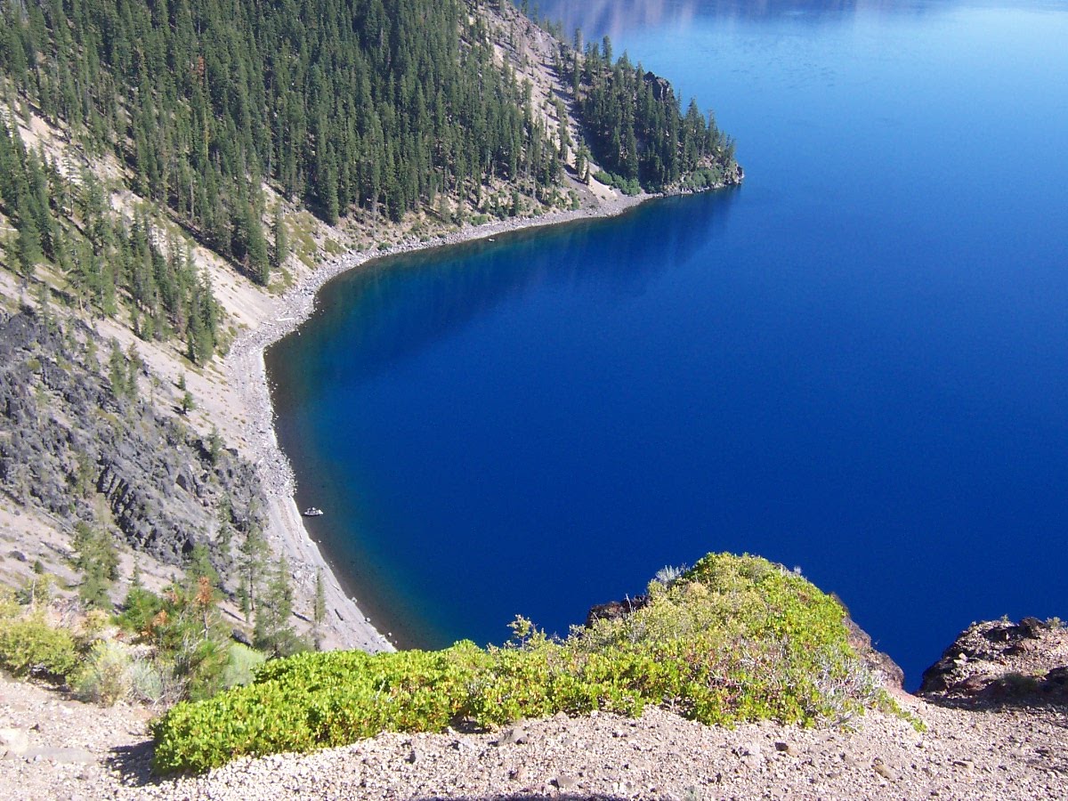
We ended up going past the boat dock to a place where people jumped off a high rock and into the water. We didn't do that.
Our co-worker went for a swim while we waded in the water. We read in the park flyer that the water stays 38° year-round but the top foot is much warmer. It gets cold real fast as it gets deeper.
Just had to take a photo of us at Crater Lake.
Oh the trail back up. We weren't looking forward to that. If you know where to look, you can see some of the trail.
Oh, forgot to mention that the boats were all helicoptered in. The trail is the only lake access. I saw ATV tracks on the trail at one place so I suppose the dock crew went up and down the easy way.
Some parts of the trail are very steep which makes it hard to go slow down but really hard to do anything but go slow going up.
Just a few feet from the top.


We drove around a short piece of the Rim Road for some more views. Nolan and I were here in 2001 when we climbed Watchman Peak for a high view of the crater.
The color change as the lake gets closer to shore is really pretty.


There was a forest fire in the park.


That night we stayed at Diamond Lake Resort just north of Crater Lake on Diamond Lake.
Mt. Bailey